Improve your experience. We are very sorry but this website does not support Internet Explorer. We recommend using a different browser that is supported such as Google Chrome or Mozilla Firefox.

Webinar: Capturing Reality for the Civil Industry

With reality capture technologies and outputs fast becoming a deliverable for Architecture, Engineering and Construction projects, surveyors and engineers are needing understand how to create, utilise and manage point clouds.

Description


This concise session will delve deep into processes and techniques to help transform laser-scanned data into precise 3D models. It's tailored specifically for those looking to enhance their expertise, stay abreast of industry standards, and leverage the latest in technology to streamline project workflows. 

This webinar represents an excellent opportunity for professionals to refine their skills in point cloud management, ensuring their projects not only meet modern surveying and design expectations.
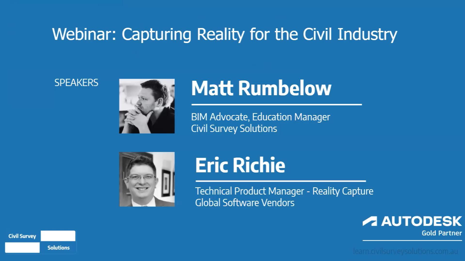
 

Presenters

Matt Rumbelow
Professional Development Manager
Civil Survey Solutions

Eric Ritchie
Technical Product Manager - Reality Capture
Global Software Vendors

Similar courses

Civil Site Design | Fundamentals (eLearning)

Free with registration. This self paced video based course is designed to teach you how to start using and fully understand Civil Site Design on your chosen CAD platform.

More Information
AutoCAD | Fundamentals (Classroom) VIC

Instructor Led. Get started in AutoCAD with our fundamentals training. Hands-on learning with seasoned instructors ensures essential skills for precise drafting in engineering projects. Ideal for fresh graduates and seasoned professionals, our course builds a solid CAD foundation, streamlining design processes and elevating engineering capabilities.

More Information
AutoCAD | Extended (Online)

Instructor Led. Advance your CAD skills with our tailored AutoCAD Extended course. Led by experienced AutoCAD specialists, it explores advanced functionalities such as 3D modeling and parametric design. Equip yourself with tools for complex projects, from advanced documentation to collaboration. Gain a strategic advantage, leading projects with precision or staying at the forefront of industry advancements.

More Information
Civil 3D | Fundamentals (Classroom ) VIC

Instructor Led. Tailored for civil engineers, surveyors, and CAD professionals, this program offers a robust foundation in Autodesk Civil 3D, a key software in civil engineering design. Engage in hands-on learning with practical exercises and real-world examples. Experienced instructors provide valuable insights, enhancing proficiency. Acquire essential skills to confidently navigate and leverage Civil 3D for surveys and designs, laying the groundwork for success in civil engineering projects.

More Information
Civil Site Design | Pipes Overview (eLearning)

Free with registration. This is a short overview course to introduce you to the pipes module within Civil Site Design.

More Information
Civil Site Design | Civil 3D Outputs (eLearning)

Free with registration. This video based course is designed to teach you how to exchange data between Civil Site Design and Civil 3D - create surfaces, alignments, profiles, profile views, assemblies and corridors all from your Civil Site Design models.

More Information
Webinar: Constructing the Future: BIM for Civil Engineers

"Constructing the Future: BIM for Civil Engineers" seeks to demystify, enlighten, and equip Civil Engineering professionals just like you.

More Information
Global eTraining: Autodesk eLearning

eLearning for the AEC industry. Access to the largest online catalogue of eLearning material for all major Autodesk products. Also includes Bentley, Adobe, BIM Management and more.

More Information
Recorded Webinar: Managing Coordinate Systems and GIS Exchange

This fast-paced session looks at the toolsets in Civil 3D to manage coordinate systems, work with GIS data and automate processes with Dynamo.

More Information
Recorded Webinar: The Surveyors Workshop with Civil 3D

Harness the power of Civil 3D (and the AEC Collection) along with Stringer Topo to streamline your surveying processes.

More Information
Recorded Webinar: AutoCAD Map 3D: Coordinate Transformation

In this video we use the Map 3D tools to move CAD objects between different Coordinate Systems in the Civil 3D Library.

More Information
Recorded Webinar: Using Civil 3D Surfaces with Revit Conceptual Mass

In this webinar we will start by demonstrating the difference between in-place conceptual masses and conceptual family masses.

More Information
Recorded Webinar: Civil 3D Profiles & Profile Views

Civil 3D Profiles are sampled along an alignment and are used to show long section model data. A Profile View is used to display the profile data in your drawing.

More Information
Recorded Webinar: Civil 3D Profiles & Profile Views

Civil 3D Profiles are sampled along an alignment and are used to show long section model data. A Profile View is used to display the profile data in your drawing.

More Information
Recorded Webinar: What's New in Recap Pro 2022

With the release of Recap Pro 2022, there have been a number of new additions to the software. Adding new tools to your workflow can be daunting, however this session aims to resolve some of those concerns.

More Information
Recorded Webnar: Civil 3D & Infraworks Data Exchange

In this webcast we will demonstrate how to share your road designs in Civil 3D to Infraworks for broader stakeholder communication and review.

More Information
Recorded Webinar: Civil 3D Corridors

When it comes to BIM workflows, it is common to share surfaces and corridors from Civil 3D.

More Information
Recorded Webinar: Civil 3D Alignment Styles & Settings

Following on our popular Civil 3D Template 101 webcast, join us while we take a deeper look at the styles and settings for Civil 3D Alignments.

More Information
Recorded Webinar: Civil 3D Templates

In this webcast we introduce you to creating & managing templates with Civil 3D.

More Information
Recorded Webinar: Point Clouds & Surfaces

With laser scanning forming a major contribution to surveying practice, many surveyors & designers are needing understand how to create and manage the typical output - a Point Cloud. Want to make sense of the Point Cloud surface creation tools? Get your head into Point Clouds using Autodesk Recap, Civil 3D and Civil Site Design.

More Information
Recorded Webinar: Stringer Topo for Civil 3D - Getting Started #1

4 part video series working form start to finish with Stringer Topo on Civil 3D.

More Information
Recorded Webinar: Stringer Topo for Civil 3D - Getting Started #2

4 part video series working form start to finish with Stringer Topo on Civil 3D.

More Information
Recorded Webinar: Stringer Topo for Civil 3D - Getting Started #3

Part 3 of 4 video series working form start to finish with Stringer Topo on Civil 3D.

More Information
Recorded Webinar: Stringer Topo for Civil 3D | Getting Started #4

Part 4 of 4 video series working form start to finish with Stringer Topo on Civil 3D.

More Information
Recorded Webinar: Stringer Topo - Converting 2D Objects to 3D COGO Points

In this video we show you how to take 2D blocks with attribute data, convert them into cogo points and immediately create a DTM surface.

More Information
Recorded Webinar: Stringer Topo for Civil 3D - New Features

To compliment the release of Stringer Topo V24, Jack Haughton & Shane O’ Rorke present the V24 New Features webinar on Civil 3D.

More Information
AutoCAD | Fundamentals (Online)

Instructor Led. The AutoCAD Fundamentals course teaches you everything you need to know to become quickly productive with the software.

More Information
Global eTraining: Productivity Software

Global eTraining produces interactive online training solutions for the Architecture, Engineering, and Construction (AEC) industry. The "GeT Everything" program gives individuals and organisations access to a comprehensive library of courses for industry relevant software skills and industry knowledge.

More Information
Civil Site Design | Road Reconstruction (Online)

Tailored for civil engineers involved in road reconstruction projects, this program enables designers to proficiently create, edit, analyse, and publish road reconstruction design models using Civil Site Design. Engage in hands-on learning with practical exercises. Experienced instructors provide insights to competently design roads and strings, generate volumes, and output profile and section views. Acquire essential skills for confident navigation and leveraging Civil Site Design in road reconstruction pr

More Information
Civil Site Design | Pipes (Online)

Instructor Led. Tailored for civil engineers in pipe design, this program enables designers to proficiently create, edit, and publish pipe networks using Civil Site Design. Experienced instructors empower you to competently design stormwater, sewer, property connection and utility networks including outputting reports, plan labels and long sections. Acquire essential skills for leveraging Civil Site Design in pipe design projects.

More Information
ReCap Pro + GeT | Fundamentals (Online)

Instructor Led and supported with GeT equips participants with essential Autodesk ReCap skills. Starting with an introduction, delve into point cloud fundamentals and UI. Learn view/navigation techniques, customize appearances, and master organising/editing. Progress to measurement, labelling, and advanced topics like Registration and UAV features. Culminate with insights into the iPad app for on-the-go reality capture. Gain a comprehensive understanding for efficient handling of point cloud data.

More Information
Civil 3D | Fundamentals (Online)

Instructor Led. Tailored for civil engineers, surveyors, and CAD professionals, this program offers a robust foundation in Autodesk Civil 3D, a key software in civil engineering design. Engage in hands-on learning with practical exercises and real-world examples. Experienced instructors provide valuable insights, enhancing proficiency. Acquire essential skills to confidently navigate and leverage Civil 3D for surveys and designs, laying the groundwork for success in civil engineering projects.

More Information
Civil 3D | Road Design (Online)

Instructor Led. Tailored for civil engineers in road design, this program enables designers to proficiently create, edit, analyse, and publish corridors using Autodesk Civil 3D. Engage in hands-on learning with practical exercises. Experienced instructors provide insights to competently design corridors, generate volumes, and output profile and section views. Acquire essential skills for confident navigation and leveraging Civil 3D in road design projects.

More Information
Autodesk Success eLearning: Deep Dive into BIM

Having a sound grasp on the project lifecycle from the onset of a project helps with planning the entire project, improves communication with all parties involved, and can alleviate or even eliminate challenges and problems that may occur.

More Information
Autodesk Success eLearning: BIM in Design

Following the BIM workflow suggested will provide you with the ability to Work securely, efficiently and collaboratively on Building and Civil Infrastructure designs with a team spread across multiple locations, while mastering hybrid work environments.

More Information
Autodesk Success eLearning: BIM for Construction

This learning content is designed to equip you with the essential capabilities to enhance your construction project management skills. With an emphasis on collaborative authoring, design management, design review, document management, quality management, coordination, construction scheduling and simulation, and construction collaboration, this content provides an in-depth understanding of the construction industry's most crucial aspects.

More Information
Autodesk Success eLearning: Revit Quick Start

The Revit Quick Start Guide helps you improve your skills. For first-time users, Key Revit concepts, Revit driver’s manual, and the User interface tour are a great place to start.

More Information
Autodesk Success eLearning: BIM Learning Content

Get on-demand e-learning resources to sharpen your skills, enhance your career, and demonstrate knowledge. Find everything from quick tutorials to certification preparation courses.

More Information
Civil Site Design | Fundamentals (Online)

Instructor Led. Tailored for civil engineers and civil designers, this fundamentals course offers a robust foundation in Civil Site Design for users operating on an AutoCAD or BricsCAD platform. Experienced instructors involved in the development of the software, provide valuable insights, enhancing proficiency. Acquire essential skills to confidently navigate and leverage Civil Site Design for creating ground surfaces, analysing surfaces, creating alignments and site grading.

More Information
Civil Site Design | Pipes (Classroom) VIC

Tailored for civil engineers in pipe design, this program enables designers to proficiently create, edit, and publish pipe networks using Civil Site Design. Experienced instructors empower you to competently design stormwater, sewer, property connection and utility networks including outputting reports, plan labels and long sections. Acquire essential skills for leveraging Civil Site Design in pipe design projects.

More Information
Stringer Topo | For CAD Platforms (Online)

Instructor Led. This course introduces surveyors to the functionality in Stringer Topo to work with COGO Points, manage point groups, create survey linework and build survey surfaces, complete with output of labels and tables, as well as touching on the cadastral toolset in Stringer Topo. Acquire essential skills for leveraging Stringer Topo for your various survey projects.

More Information
Stringer Topo | For Civil 3D (Online)

Instructor Led. This course introduces surveyors to the functionality in Stringer Topo to work with COGO Points and surfaces in Civil 3D. Explore Civil 3D and Stringer Topo to manage points and point groups, create survey linework and build Civil 3D surfaces, generate legend tables, and look at the cadastral tools in Civil 3D and Stringer Topo. Acquire essential skills for leveraging Stringer Topo for your various survey projects.

More Information
Civil 3D | Road Design (Classroom) VIC

Instructor Led. Tailored for civil engineers in road design, this program enables designers to proficiently create, edit, analyse, and publish corridors using Autodesk Civil 3D. Engage in hands-on learning with practical exercises. Experienced instructors provide insights to competently design corridors, generate volumes, and output profile and section views. Acquire essential skills for confident navigation and leveraging Civil 3D in road design projects.

More Information
Civil Site Design | Styles and Settings (Online)

Instructor Led.. Built for all CAD managers and staff involved in the standardisation of presentation outputs, this course deep dives into the styles and settings in Civil Site Design that drive the command behaviours and control the presentation of outputs. Understand how to manage all Civil Site Design outputs: linework display, long sections, cross sections, setout and more. This course assumes you have a working knowledge of Civil Site Design.

More Information
Recorded Webinar: GeTTing Started with Global eTraining

How GeT can benefit your practice and how to GeT started.

More Information
Webinar: Uniting to Elevate Innovyze Users’ Experience

Uniting to Elevate Innovyze Users’ Experience

More Information
Recorded Webinar: Constructing the Future: BIM for Civil Engineers

Constructing the Future: BIM for Civil Engineers seeks to demystify, enlighten, and equip Civil Engineering professionals just like you.

More Information
Recorded Webinar: Putting the Civil in IFC - IFC 4.3 and Civil Infrastructure

The adoption of IFC 4.3 is a significant leap forward for the AEC industry, offering enhanced capabilities and efficiencies.

More Information
Recorded Webinar: Capturing Reality for the Civil Industry

With reality capture technologies and outputs fast becoming a deliverable for Architecture, Engineering and Construction projects, surveyors and engineers are needing understand how to create, utilise and manage point clouds.

More Information

Press enter to see more results